<img height="1" width="1" style="display:none" src="https://www.facebook.com/tr?id=1576982856045185&amp;ev=PageView&amp;noscript=1">

Every Second Matters. So Does Every Decision.

Many agencies are taking their drone programs to the next level by implementing Drone as First Responder (DFR) initiatives, revolutionizing public safety and attracting the next generation of first responders.

Improved Response

Agencies implementing Drone as First Responder (DFR) programs report an average response time of 90 seconds, giving first responders a significant advantage to quickly evaluate an incident and provide the optimal response.

CAD-Native Workflows

DroneSense delivers the first CAD-native DFR workflow, enabling native drone response directly within Versaterm CAD, MDT and Mobile. This fully embedded approach allows agencies to manage drone operations in the same environment they already use for response. 

Safer Outcomes

Drones deployed to an incident give remote operators and stakeholders an "eye in the sky," helping them assess and identify potentially dangerous situations. This vital information helps affect positive outcomes for first responders and their communities.

Transparent Data

When it comes to improving community relations, automated record keeping of flight logs can easily be turned into reports or dashboards made available to the public. This transparency underscores the value of drone programs and helps mitigate concerns from citizens about potential surveillance activities.

Webinar: Building a DFR Program in Canada

Many Canadian public safety agencies evaluating Drone as First Responder (DFR) focus heavily on the aircraft, but long-term success often comes down to the platform behind it. This webinar breaks down what turnkey DFR looks like from the inside, the five capabilities that determine how effectively your program scales and why more than 1,400 organizations trust Versaterm DroneSense to operationalize.

Your Fleet, Your Call

DroneSense enables rapid deployment through support for leading drone platforms, including DJI, Parrot ANAFI UKR GOV and more. Agencies have the flexibility to deploy the fleet that best meets their operational needs. Built for speed, control, and operational confidence when every second matters.

Fully Customizable

Fully Customizable

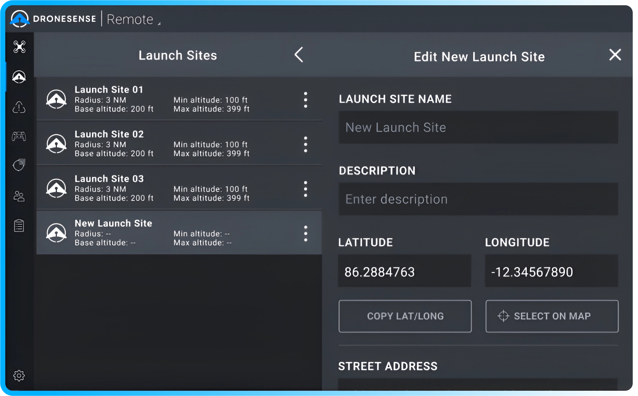
Create unique site profiles for different locations and scenarios, plus easily edit your profiles as conditions change. Just a few of the settings you can customize include:

  • Commence recording on takeoff
  • Adjust for elevated launch sites
  • Create geofencing on a map for restricted areas and safe RTH
  • Set minimum and maximum altitudes and set default gimbal angles
  • Set battery threshold levels
  • Identify emergency landing sites
Remote Pilot in Command (RPIC)-1

Remote Pilot in Command (RPIC)

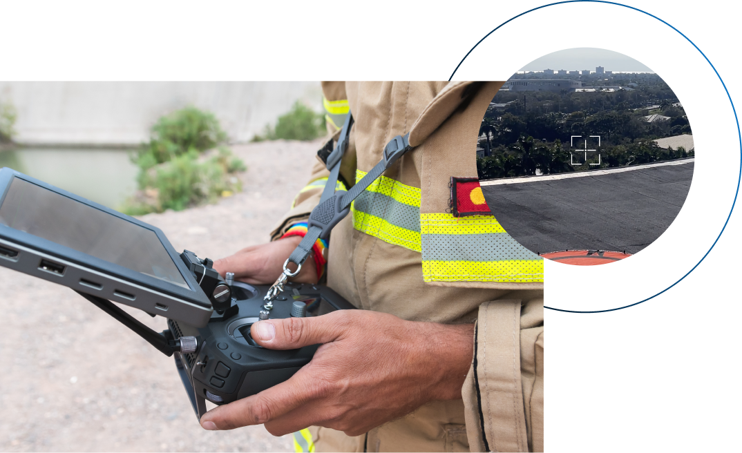
The RPIC manages the handoff to the Remote Operator (RO) in every DFR operation. Whether the launch site is atop a roof, outside of a fire station, or in any other location, the RPIC has a direct connection to the drone through a standard controller and has the authority to resume control to ensure mission safety and success.

>> View our full list of supported and upcoming drones
Remote Operator

Remote Operator (RO)

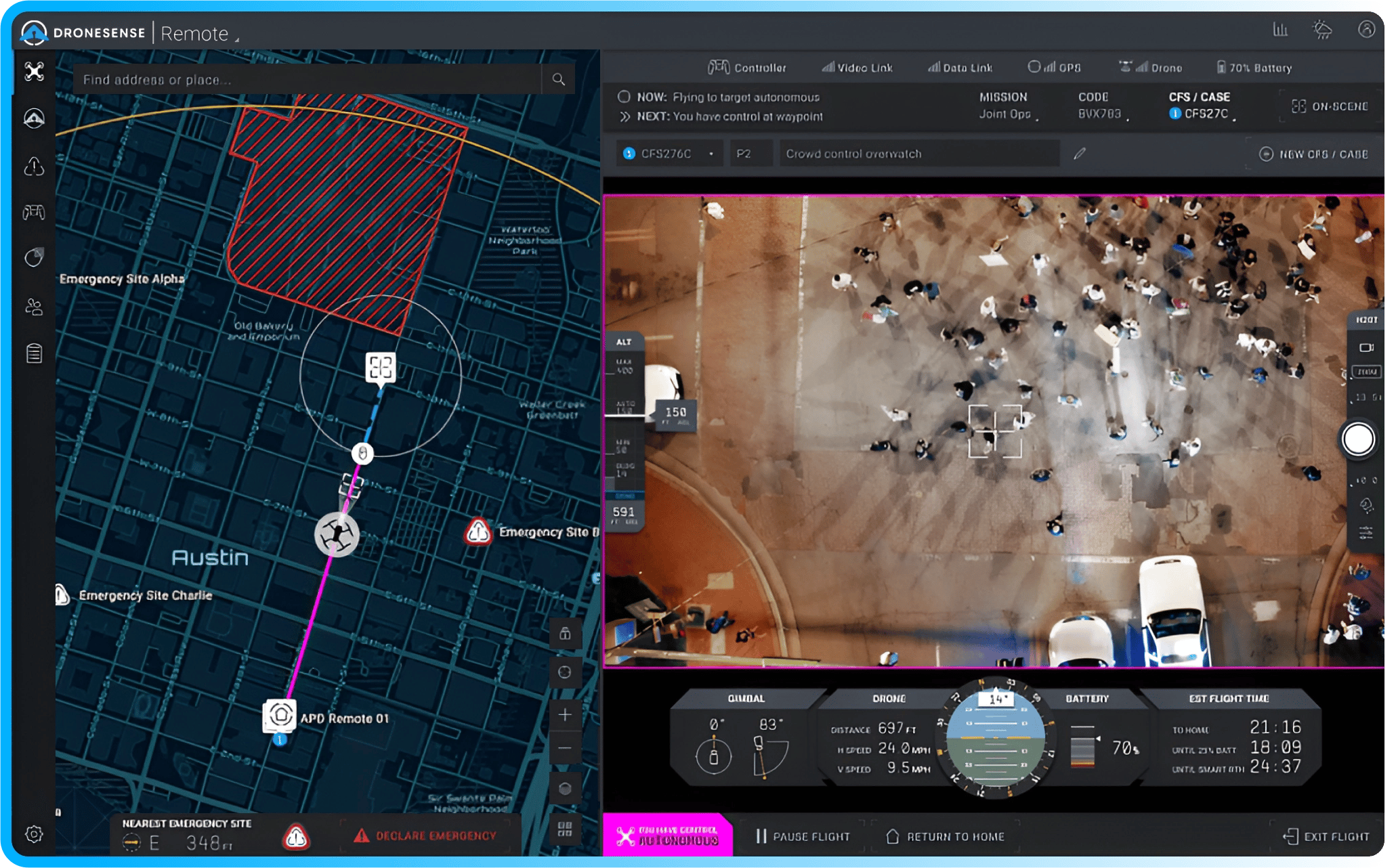
With our software, you can fly a drone from a web browser using a Playstation 5 controller (or even the keyboard!), and perform autonomous and manual flights with a rich level of detail, including:

  • Integrated address & lat/long search
  • Video & thermal settings
  • Intuitive telemetry
  • Multiple launch sites, no-fly zones, and emergency landing sites
  • Time on station information, and more
Calls Service

Calls for Service

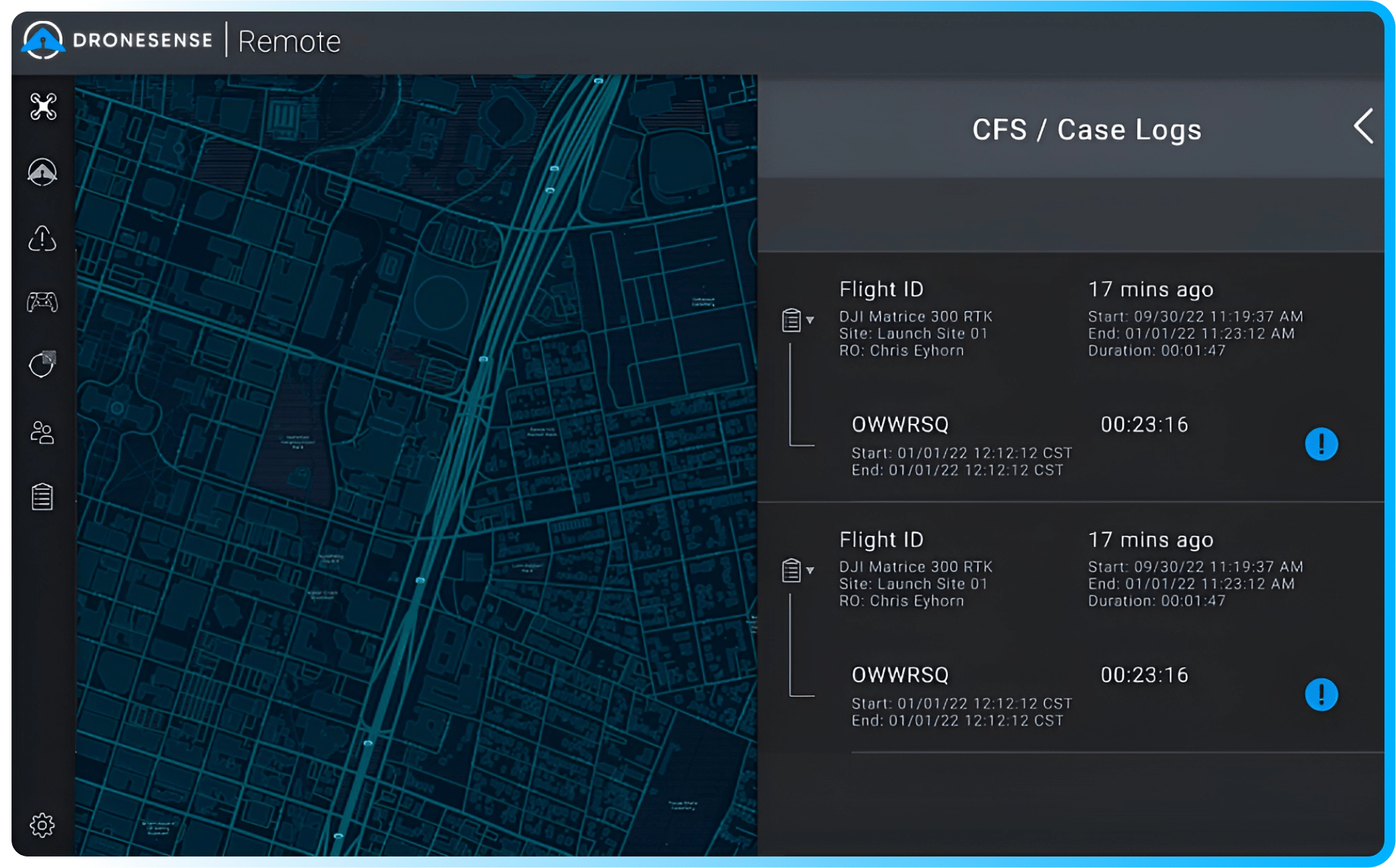
Drone as First Responder (DFR) programs fully integrate drones into first responder operations. Our platform adds purpose-built Call for Service (CFS) functionality to seamlessly add drones to your workflows and document their usage.

  • Easily initiate a CFS while in flight
  • Supports multiple CFS per flight
  • All CFS data recorded in flight logs per flight
Built for Emergency Situations

Built for Emergency Situations

DroneSense Remote enables your agency to deploy drones from dedicated launch sites the moment a call comes in.

Remote pilots can be in the command center or at designated staging sites and have the ability to fly manually or autonomously, providing decision-makers with comprehensive situational awareness and high-definition views from any angle.

You can share your live stream internal or with cooperating agencies, giving teams on the ground a bird's eye view of potential threats and hazards which can save time, resources, and even lives.

Talk to a team member to see it in action →

"DroneSense Remote has given our team the ability to respond to emergencies while giving our real-time Operations Center the ability to control the aircraft and provide deputies and command with live situational awareness."
Jim Baker
Collier County Sheriff's Office

Ready to Start or Optimize Your DFR Program?

Get started today